Cyclone Season is coming to the Pacific.
Watch the film below to see how one community in Solomon Islands is working together to limit loss and damage.
Communities across the Pacific are preparing for the cyclone season.
The cyclone season runs from November until May each year. Even small storms can quickly build into tropical cyclones, bringing with them winds in excess of 200km/hr, drenching rain and large waves. Warming oceans, caused by the climate crisis, are seeing storms increase in frequency and intensity.
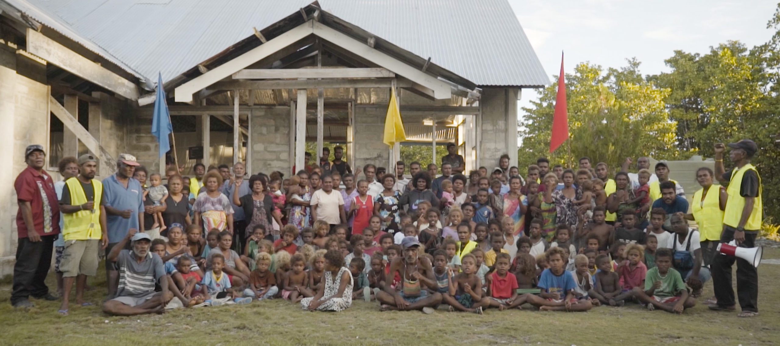
Disaster preparedness can ensure communities are safer and more resilient to the cyclone season, limiting potential loss and damage. Simulation drills, like the one that forms the backdrop of the Cyclone Season film, are a key tool for governments, NGOs like Oxfam and communities to understand and coordinate their roles in case a disaster strikes.
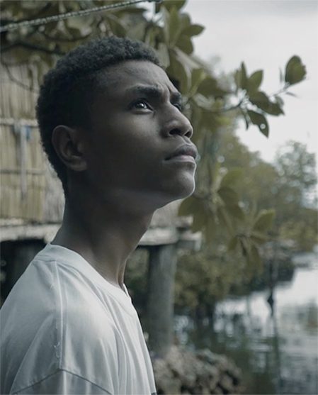
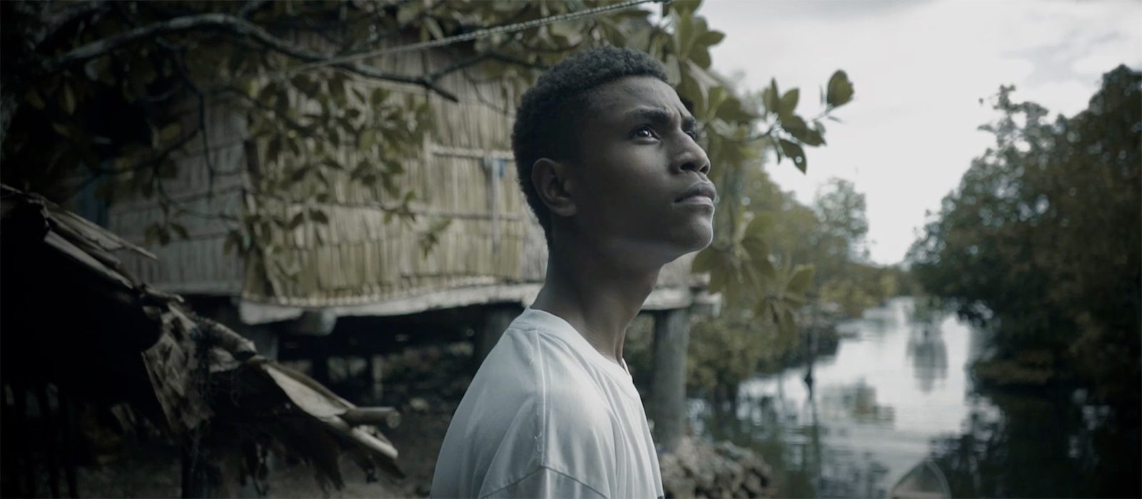
Cyclone Season was shot across two days with the Oibola community in Malaita province, Solomon Islands. All actors in the village scenes are non-professional actors and are actual residents of the community participating in the simulation drill. The community members were engaged in scriptwriting and we were able to host the first screening of Cyclone Season in the community in late November 2021.
Recent cyclones in the Pacific
2020 – Tropical Cyclone Harold
Tropical Cyclone Harold brought 280km/hr winds toSolomon Islands, Vanuatu, Fiji and Tonga just as the COVID-19 Pandemic was taking hold across the globe.
2016 – Tropical Cyclone Winston
Tropical Cyclone Winston reached wind speeds of 285km/hr as it tore across Vanuatu, Fiji, Tonga, Niue and Queensland. It was the most intense tropical cyclone recorded in the Southern Hemisphere. Tragically there were 44 fatalities.
2015 – Tropical Cyclone Pam
Tropical Cyclone Pam crippled Vanuatu’s infrastructure as wind speeds peaked at 280km/hr. It’s estimated 90% of Vanuatu’s buildings were impacted by the cyclone.
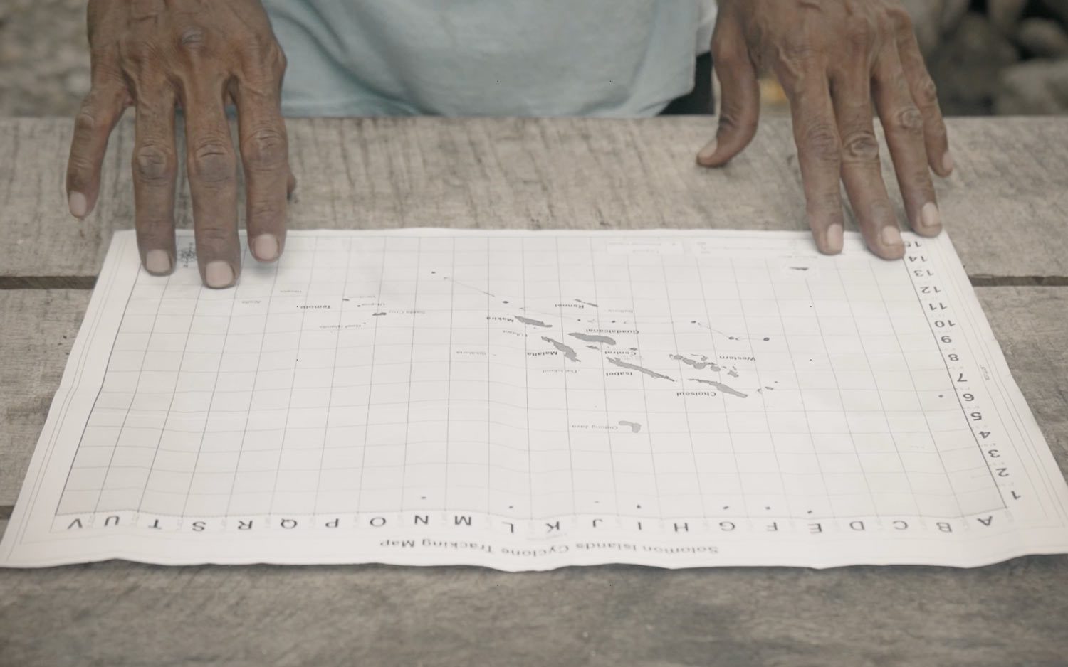
Cyclone locator map
With many Solomon Islanders receiving cyclone updates by radio, Oxfam together with the Solomon Islands Meteorological Service and National Disaster Council developed a simple map for communities to accurately track cyclones.
Now with simple grid coordinates communities are more prepared and able to ensure the whole community is accounted for before a storm hits.
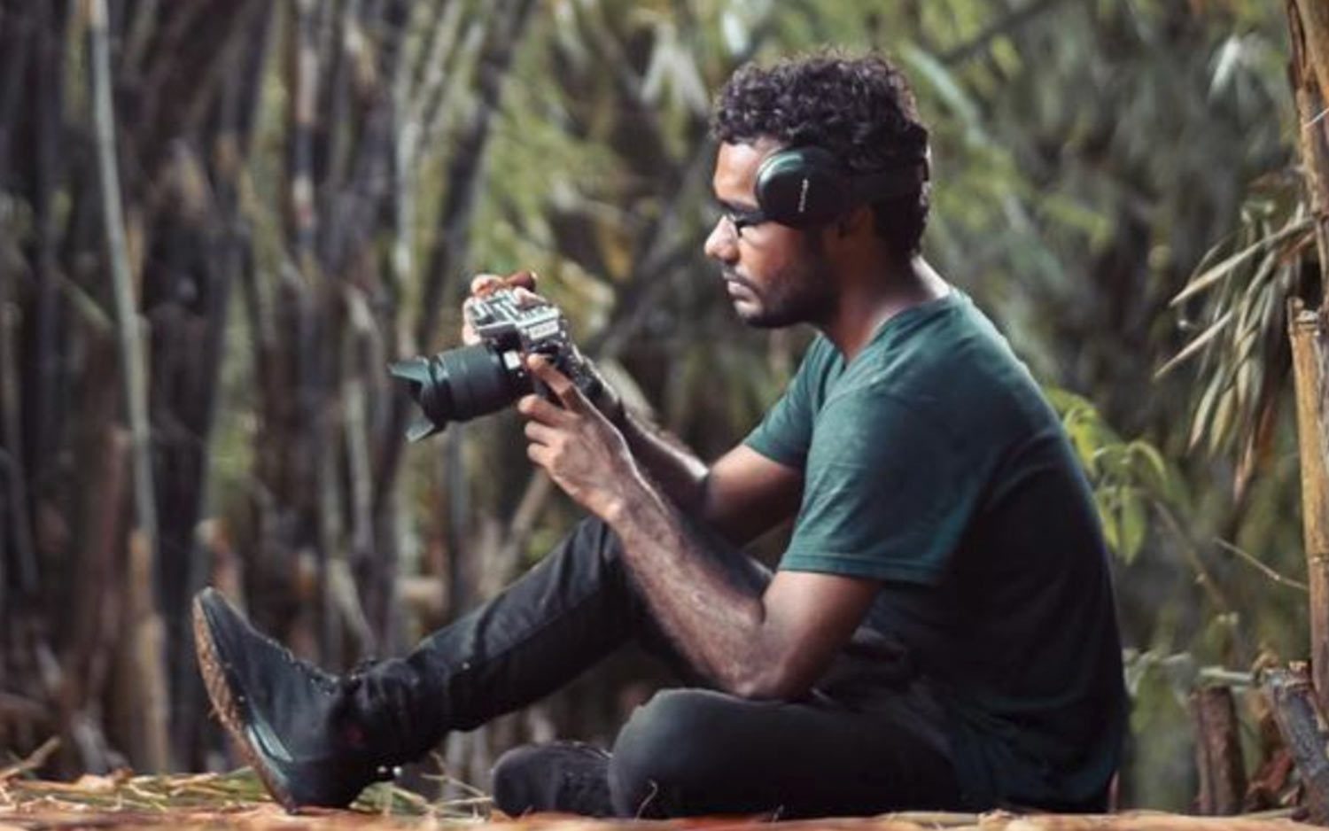
Meet the filmmaker
Mannar Levo, is a Honiara based filmmaker, who embodies the new wave of Solomon Island artists using film, photography, theatre and art as a medium for self-expression, cultural preservation, and positive social change in his community.
Proudly supported by:

Disaster READY is a component of the Australian Humanitarian Partnerships (AHP) Program funded by the Australian Government. Oxfam’s Disaster READY Project in the Solomon Islands focuses on improving the coordination of communities and local authorities to prepare, respond and recover from emergencies. Oxfam works in partnership with the Solomon Islands National Disaster Management Office in the delivery of these objectives to 15 rural communities across Guadalcanal, Malaita and Temotu provinces.